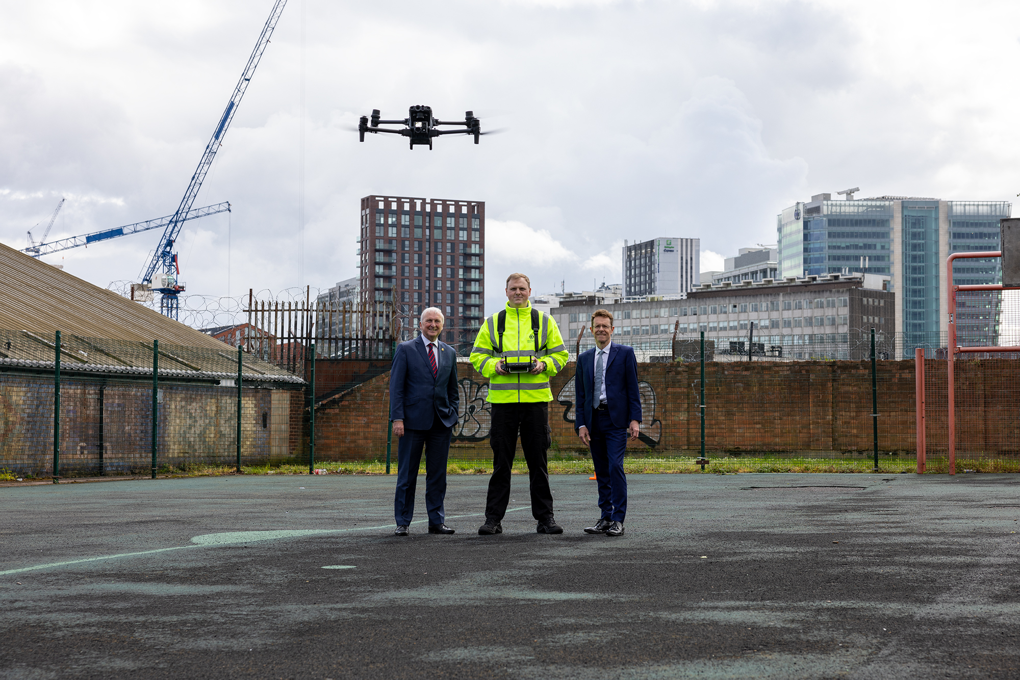
 The drones will fly over congestion hotspots and traffic queues at accident scenes or road closures and send live footage to transport managers enabling them to better plan diversions and keep the public informed.
TfWM’s Regional Transport Coordination Centre is to bring together a wide range of transport authorities, agencies and operators to work together on keeping the region moving during major events and incidents. It played a crucial role in successfully moving millions of people around during the Birmingham 2022 Commonwealth Games.
The RTCC and Safer Travel Command Centre, based in Birmingham, receives images from more than 2,500 fixed CCTV cameras covering the West Midlands major road, rail and tram networks, as well as some town and city centres. But there are gaps in the coverage, meaning they are unable to view traffic building up around some incidents.
Andy Street, Mayor of the West Midlands and WMCA Chair, said:
“Since it was launched three years ago, our Regional Transport Coordination Centre has been at the forefront of innovation in transport management - playing a major role in the success of last summer’s spectacular Commonwealth Games."
Cllr Ian Ward, WMCA portfolio holder for transport and leader of Birmingham City Council, said:
“This drone team is already proving its value in improving the quality of information being received by the RTCC and therefore improving the quality of advice given to travellers across our region."
Kerry Blakeman, accountable drone manager for TfWM, said:
“We want the public to know what we’re doing and the reason why. So we record all our flights on www.dronesafetymap.com which allows the public to see why we’re in their neighbourhood and helps improve safety as other drone pilots can also use this map."